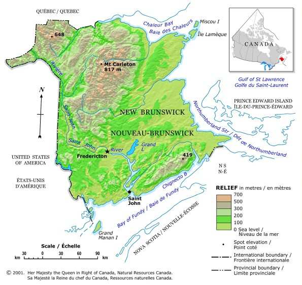
The province of New Brunswick is located on
Canada's east coast. It's one of the "Maritime Provinces" - those
which border the Atlantic ocean.
All maps courtesy of Natural Resources
Canada. If you enjoy cartography visit their fantastic "Toporama"
website!
3D
MAPS TUTORIAL
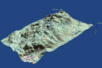
 These
3D map images were created using software and files that are all available free
on the internet. Putting a map or satellite photo into the third dimension
really gives you a great advantage in visualizing the information...and it just
looks cool! Learn how to do this by following these steps. It's not
complicated but it is time consuming. And a high-speed net connection is a "must"...but
if you're patient, it can be done on a dial-up.
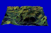
These
3D map images were created using software and files that are all available free
on the internet. Putting a map or satellite photo into the third dimension
really gives you a great advantage in visualizing the information...and it just
looks cool! Learn how to do this by following these steps. It's not
complicated but it is time consuming. And a high-speed net connection is a "must"...but
if you're patient, it can be done on a dial-up.
WANT
TO LEARN HOW TO DO THIS?
CLICK
HERE
IF YOU HAVE A DIAL-UP CONNECTION
CLICK
HERE
IF YOU HAVE A HIGH SPEED CONNECTION


